
3D Asset Management Solutions
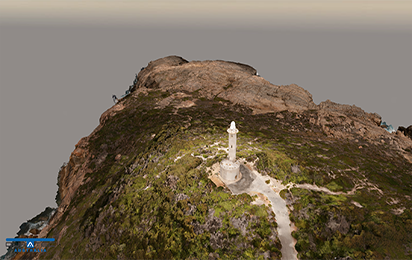
We create solutions for high value asset owners to manage their plant in a visual 3D environment. Having an integrated 3D platform allows staff to perform maintenance scheduling, shutdown planning, asset data retrieval and virtual site tours through a photo realistic reality model interface on laptop, tablet or PC.
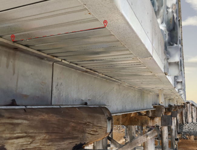
Having the 3D reality model available will limit the exposure and time required for staff or contractors to enter the plant and instead be able to access it virtually online. The platform is also very powerful for receiving or delivering detailed inspection reports to have all defects and remediation items displayed and communicated via the online 3D representation of the infrastructure. Additional insights are also achieved by being able to see spatial trends occurring and better understand the interactions between difference sections of the plant based on proximity.
3D Models
Reality Modelling to Survey Grade Accuracy
Our 3D reality models provide the experience of a site visit from any internet enabled device at survey-grade accuracy. With cluster computing we process large amounts of imagery and scan data efficiently, and to the highest quality.
Our various software applications allow us to provide vector (CAD/GIS), mesh and point cloud models in industry standard file formats. Asset modelling reduces costs, aids maintenance and management and allows collaboration across your business.

Laser Scanning
We can capture the most precise data possible even in challenging environments as well as combine scan technology with other data capture methods to provide the most accurate, reliable, cost-effective and timely solution for your project.
Our field scanning teams are backed by specialist office staff capable of efficient digitisation of point cloud data, rendering realistic 3D reality models and developing customised analysis algorithms to extract even more value from the point clouds.
Spatial Data Analytics
We provide end-to-end surveying solutions and add value to your 2D or 3D survey data through providing qualitative analysis of your site or asset in a format you can work with.
We are experienced in utilising a vast array of software applications as well as developing custom tools to maximise the value of surveyed data. By combining machine learning and visual inspection, we are changing the way infrastructure is inspected and managed.

High Resolution UAV Aerial Imaging
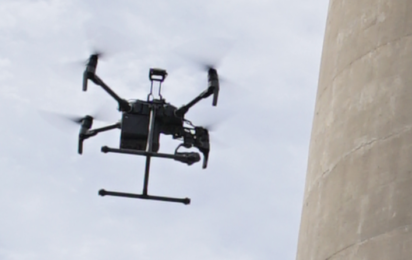
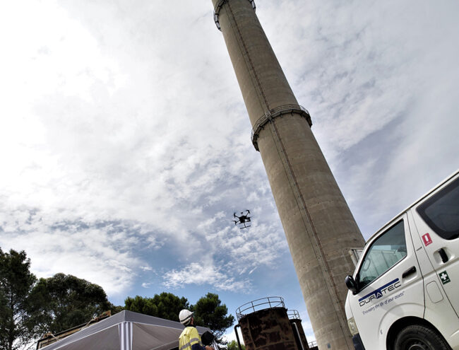
We use the latest in UAV technology to perform high resolution imaging and video inspections, data capture for 3D modelling and thermal imaging for heat monitoring with the safety of people and property forefront in planning and execution.
We assist other UAV operators by creating site specific aerial capture flight planning and imaging specifications for any project. With expertise in survey grade flight planning for clients across mining, road and rail, communications, processing facilities, urban landscapes and architecture, our aerial capture designs balance maximising quality with efficiency.
Specialist Precise Survey Measurement
Our team develop custom and novel approaches to obtaining precise millimetre and sub-millimetre measurements for a variety of spatial and metrology applications.
The techniques include close range photogrammetry, laser tracking and precision levelling.

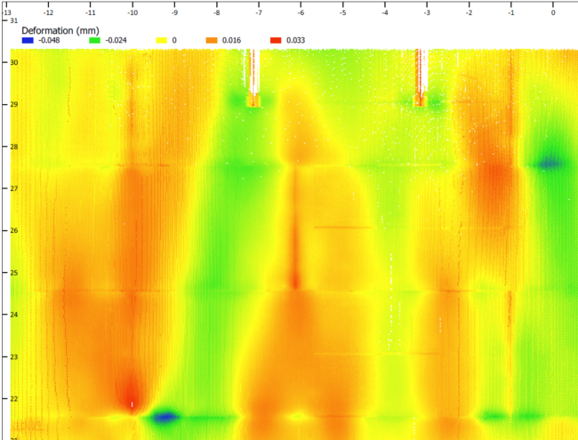
Deformation Monitoring
We offer systematic measurement and tracking of the alteration in the shape or dimensions of an object as a result of stresses induced by applied loads.
Our qualified Surveyors perform deformation surveys and monitoring. We only use the highest quality survey equipment and are always keeping ahead of the game with technological advancements to deliver value to our clients.

